Old maps
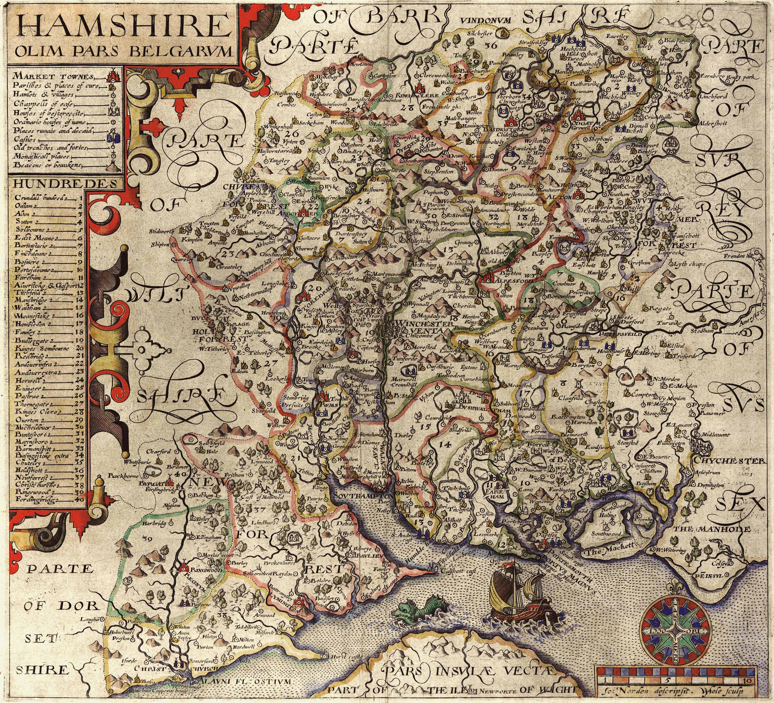
John Norden map, 1605

Christopher Saxton map, 1575
John Norden map, 1605

Thomas Kitchin 1760

Taylor map 1759

Thomas Milne map 1791

Tithe Apportionment map, 1852, accompanying a detailed audit of the population and occupancy of the parish,

East Meon Map 1869 showing non-conformist chapels, Zoar, Providence and Primitive Methodist.

Ordnance Survey 1871

Ordnance Survey 1880

Ordnance Survey 1910

1896 map of East Meon. Providence chapel not shown, Baptist where Zoar was previously.
No Comments
Add a comment about this page