You are here: Home>Categories>Maps>Parish Maps Parish Maps Centre village These large scale maps (1:1100) record the layout of the village in April 2014Date of creation 2014 Date of coverage 2014 Reference number EM/0129 Accession number 2014-04-008 DownloadsEM 1to1100-1 (578 KB Adobe Acrobat document, opens in a new window)North west cornerEM 1to1100-2 (507 KB Adobe Acrobat document, opens in a new window)West centre - The GreenEM 1to1100-3 (659 KB Adobe Acrobat document, opens in a new window)
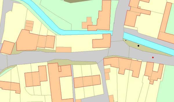
Centre, High Street and River MeonEM 1-1100-4 (418 KB Adobe Acrobat document, opens in a new window)South east, High Street out of villageEM 1to1100-5 (398 KB Adobe Acrobat document, opens in a new window)East of village, FrogmoreEM 1to1100-6 (615 KB Adobe Acrobat document, opens in a new window)North east, road to Langrish No CommentsStart the ball rolling by posting a comment on this page! Add a comment about this page Your email address will not be published. Required fields are marked *Your comment: *Name * Email * Website Save my name, email, and website in this browser for the next time I comment.I consent to my name and e-mail address being stored along with this comment, and to the website editors communicating with me by e-mail about the comment if necessary. My name may be published alongside the comment on the website, but my e-mail address will not be published. My information will not be shared with any third party (see our Privacy Statement - opens in a new window). * Δ MapsOld maps Parish MapsTwentieth century maps Browse by century:25th (1 result)26th (1 result)1st (1 result)2nd (1 result)3rd (1 result)4th (1 result)5th (1 result)6th (1 result)7th (1 result)8th (2 results)9th (7 results)10th (7 results)11th (27 results)12th (24 results)13th (23 results)14th (37 results)15th (34 results)16th (40 results)17th (47 results)18th (58 results)19th (111 results)20th (277 results)21st (155 results)Share thisFacebookPinterestTwitterLinkedin
No Comments
Add a comment about this page