Maps, contemporary
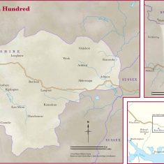
Map showing the Hundred of East Meon at the time of Domesday
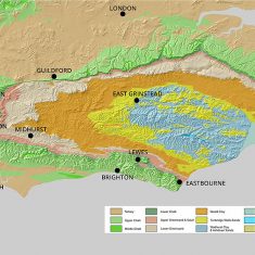
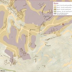
Geological formations of SE England
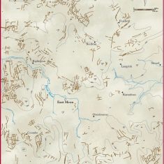
Celtic field markings around East Meon
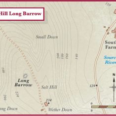
Salt Hill showing barrows
Map showing settlements in Roman times
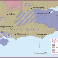
Southern tribes of Anglo Saxon Southern England
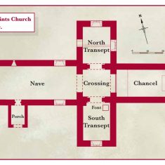
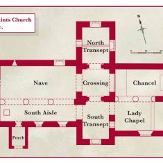
All Saints Church 12th century
Lands farmed in demesne by the Diocese
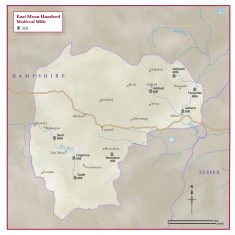
Map showing mills in East Meon Hundred
All Saints Church 13th century
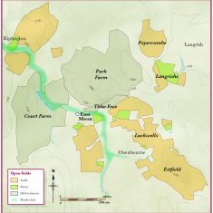
Probable open fields around East Meon in medieval times
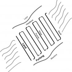
Layout of open fields
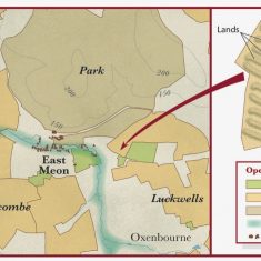
Diagram of open field and terms used
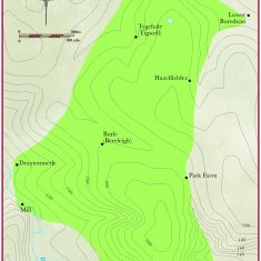
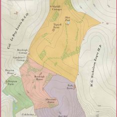
Bereleigh medieval submanor
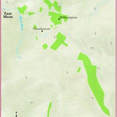
Magdalen College lands in Oxenbourne
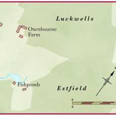
Four possible sites of fishponds
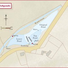
Diagram of Fishponds as it might have been in 14th century
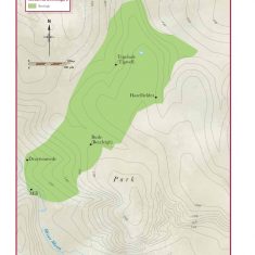
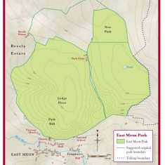
East Meon Park
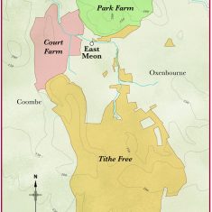
Principal farms in Oxenbourne Tithing
Farm buildings in Oxenbourne analysed in Farming the Valley
Bereleigh estate in 14th century
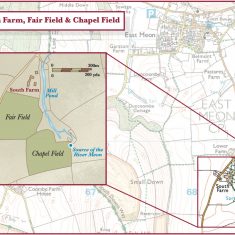
Fair field, where medieval fairs were held
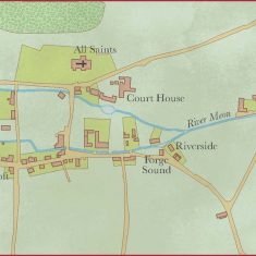
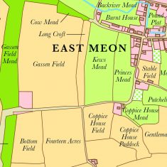
Copnjectural map of Elizabethan East Meon with modern house names
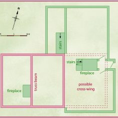
Floorpan of Tudor House in 16th century
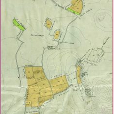
Northern lands enclosed in Oxenbourne in 1845
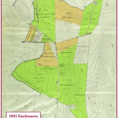
Central section of Oxeenbourne lands enclosed in 1845
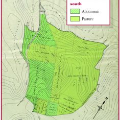
Southern section of Oxenbourne lands enclosed in 1845
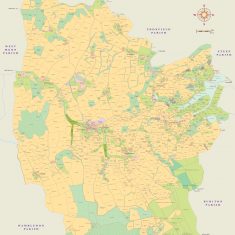
Tithe Apportionments map of East Meon 1852
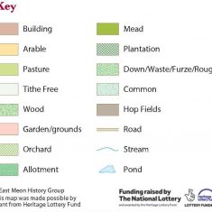
Legend for Tithe Apportionments map
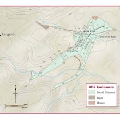
Land in Stroud and Ramsdean enclosed in 1847
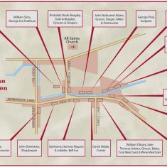
Victorian shops and trades in East Meon High Street
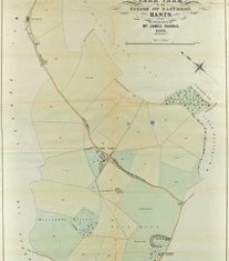
Park Farm 1888
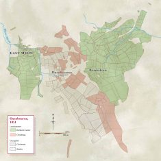
Oxenbourne landowners second half of 19th century
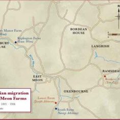
Farms occupied by the Cumbrian Migration, 1900s
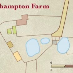
Layout of Hillhampton Farm
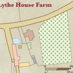
Lythe House Farm layout
southern west section of East Meon showing Garston Farm
Bereleigh Estate 1918
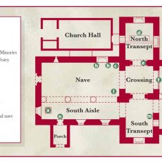
All Saints Church 21st century
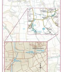
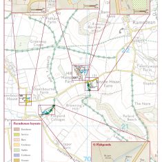
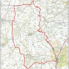
Ordnance Survey map of East Meon 2010



No Comments
Add a comment about this page